Author: charlie
GPX vs Yellow Arrows
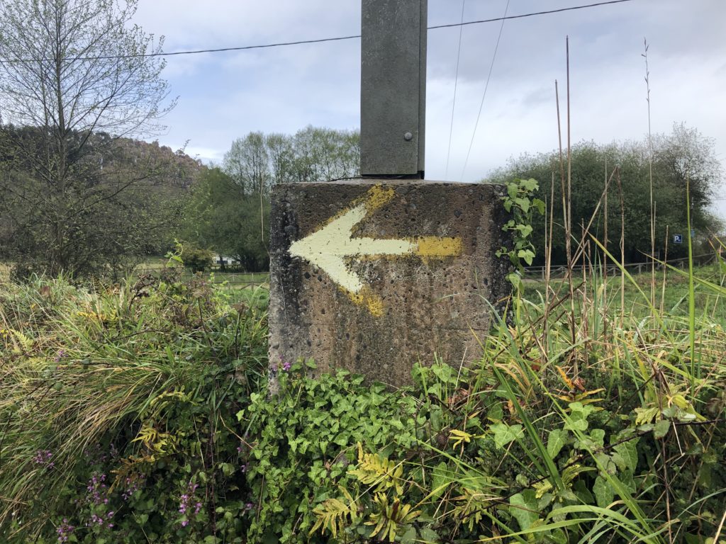
All Caminos are marked with yellow arrows. Some are better marked than others but on the Camino Frances (the main one) you could easily walk the entire 800 kilometers without a guide or a map or a gps, just following the yellow arrows. They are friendly and reassuring. They always show up when you need them.
They also mean that you can walk without a care, thinking about things, without worrying about navigating, just follow the yellow arrows. I guess this is anti-mindful but, I think, in a good way. You get lost in the process which is part of what a Camino is all about.
GPX tracks do this in a way also but in a very techy way. Sometimes they seem to consume a lot of your attention and make you concentrate on the path rather than the journey. I guess it is how you treat it. I tend to look at my phone a lot and keep track of where I am.
When you are a double (and triple) checker like Wynette they are great since you know you are on the correct trail.
GPX tracks and wikiloc
I thought I might explain the tracks I am sending. A “gpx” track (aka gps track) is a text file that is basically a list of GPS readings plus some identifying information (metadata). A gps reading is a time plus a location somewhere on the earth, that is, a latitude, longitude, and elevation. The track records a trip, aka route. A gpx tracker app on your phone will record a walk by taking a gps reading every, say, 10 meters (you can decide how often). When you finish, it packages them all up in a gpx track for you.
The wikiloc app is an app that will do this. When we start out I start the track and when we finish I end it, give it a name, and upload it. The wikiloc web site provides access to these tracks and shows them in a nice format on a map, provides altitude graphs, computes various statistics, etc.
Besides recording your trips in the wikiloc app you can also download a track that someone else has recorded and “follow” the track. We are doing that also and have found a track for each stage of our Camino. The app sends you a notification if you get off-track.
We have used gpx tracks for the last three Caminos but this is the first time we have used wikiloc. It is a nice app and ha a nice web site. It is used by a lot of people on the Camino.
In general wikiloc seems to have gotten quite popular with all hikers and walkers. It has tons of trails, you might say too many, it can be hard to navigate and find the one you want.
If you are interested in recording your walks you might give it a try. Just download the app on your phone. It is dead easy to use.
slideshows
I got confused. Here are some more slideshows. One or more may be duplicate. Added by Wynette: All these slideshows are created by Google Photos. We probably would pick different photos and music, but fun to see what Google chooses to include. Charlie has gotten into taking photos of Hórreos so they are a bit over-represented in the slideshows. But there are huge numbers of them here in Asturias. There are lots in Galicia, too, but there they are rectangular. Here they are square.
https://photos.app.goo.gl/T9W8fLQcbb9XkFrc8
https://photos.app.goo.gl/v6HtppjE8w5k4qmP8
April 7 slideshow
April 8 slideshow
April 9 slideshow
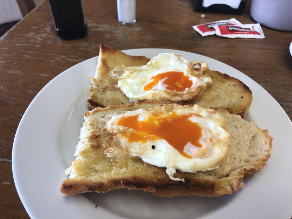
Orange yolks
This was my breakfast yesterday on my solo walk. The yolks here have such vivid colors.
Day 5, 2019-04-08: Cadavedo to Cueva
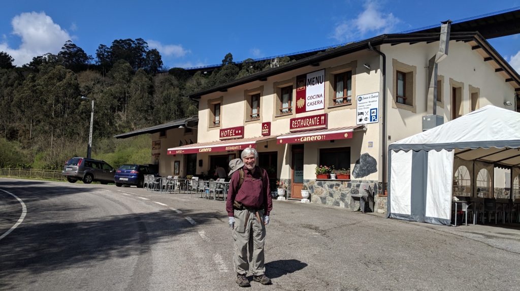
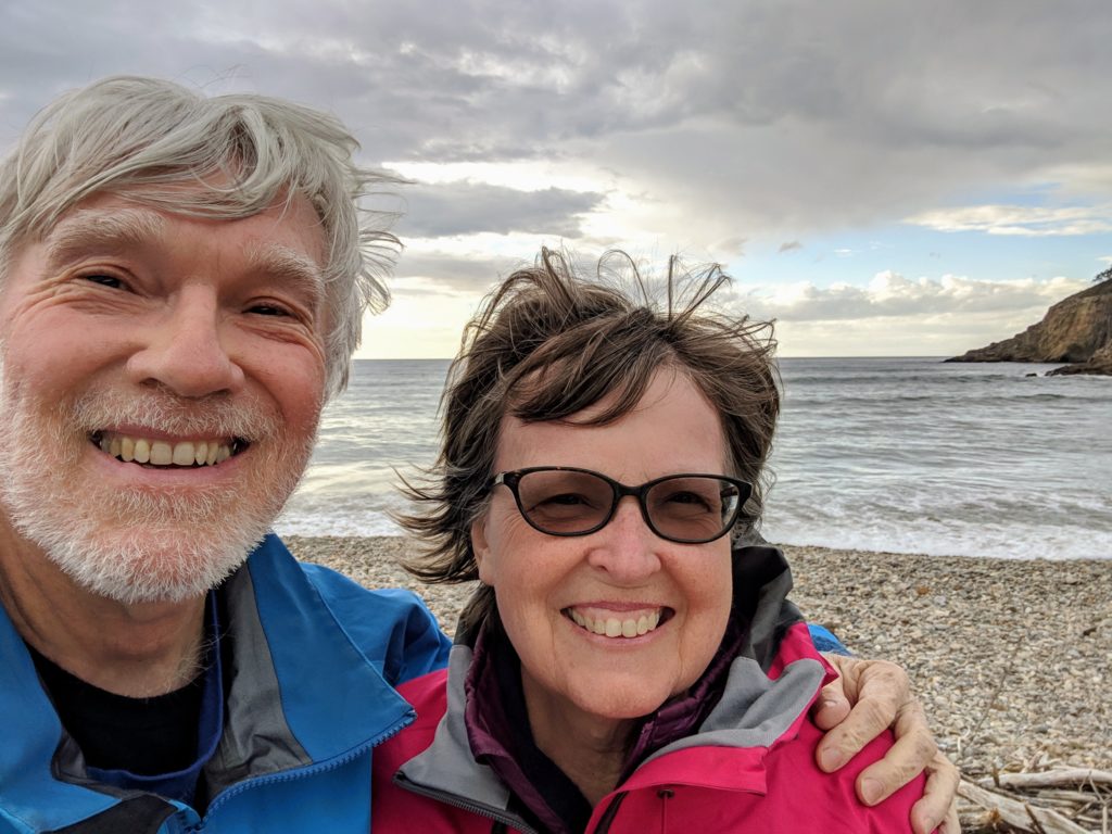
A short day, 6.7 miles. Charlie recovering from yesterday. Mostly road walking, but pleasant. We skipped a Norte longcut. We’re staying at a little rural family hotel/albergue under the A8. 35 euro. The track is here. We had lunch here at the hotel (menú del día) around 2:30, then rested, then walked down to the beach behind our hotel, adding another mile to our daily total. Photo at the rocky beach:
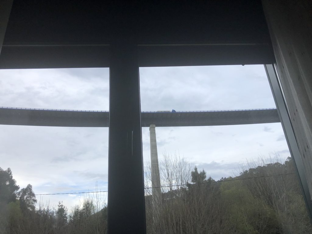
View from our window
We’re under the A8.
